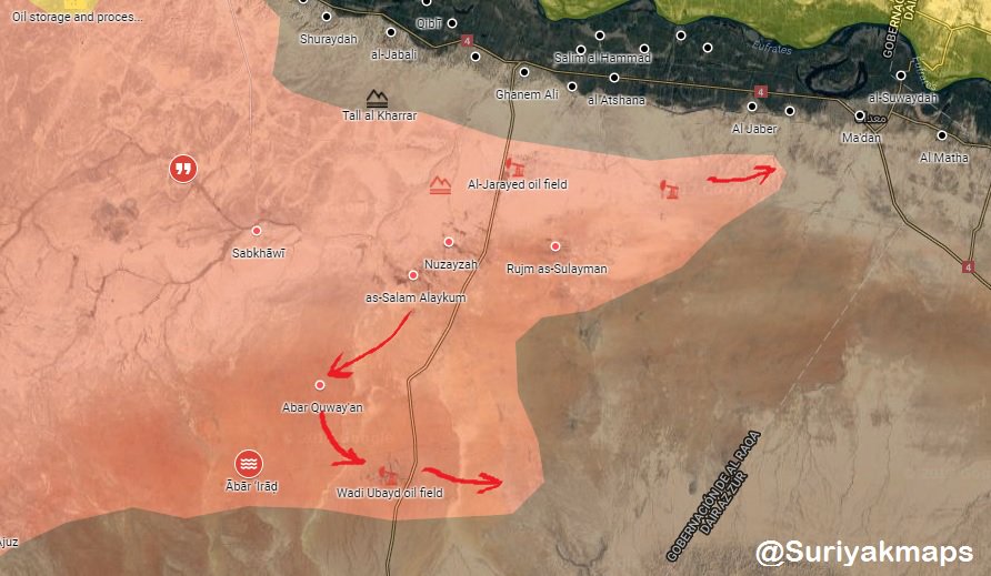
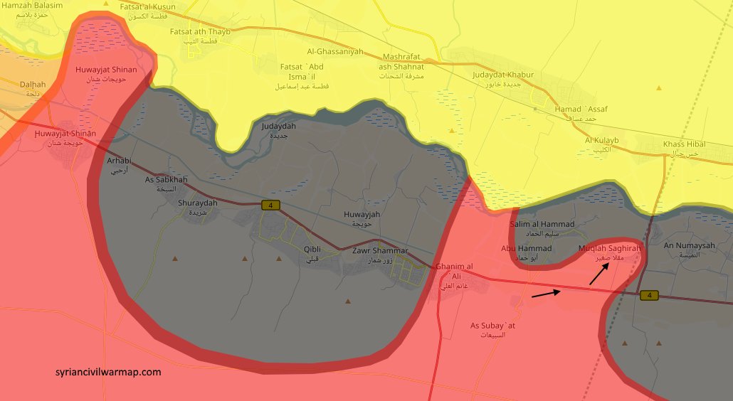
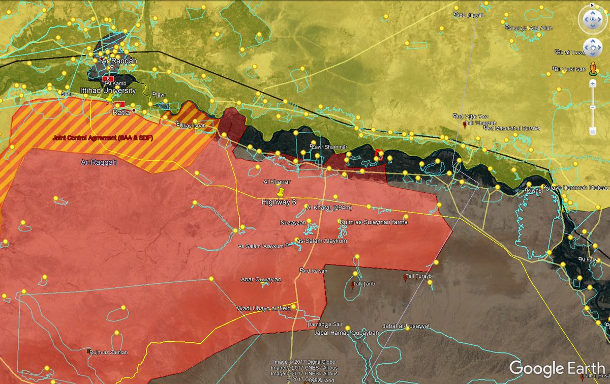
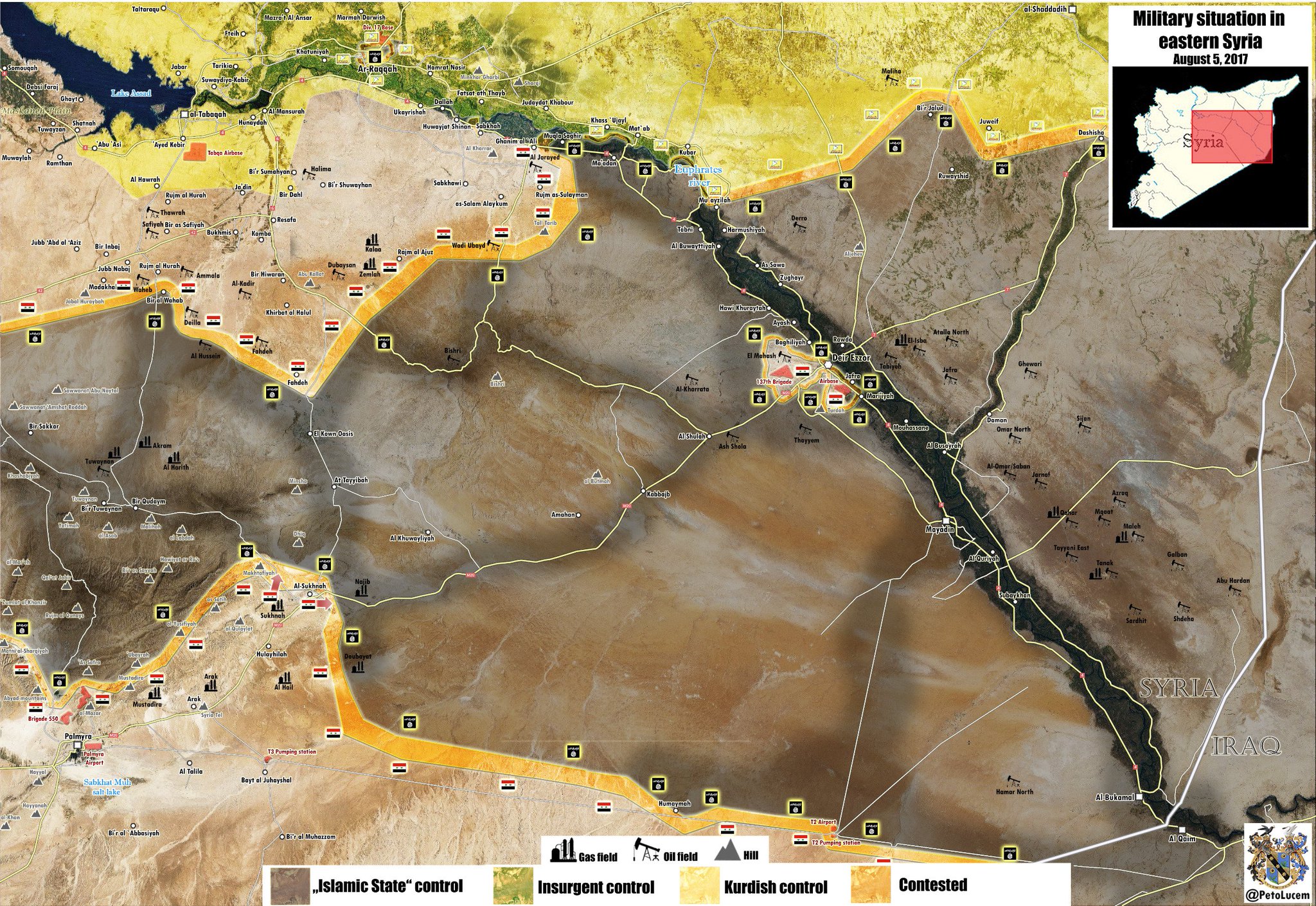
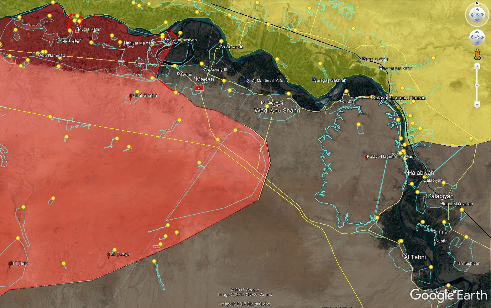
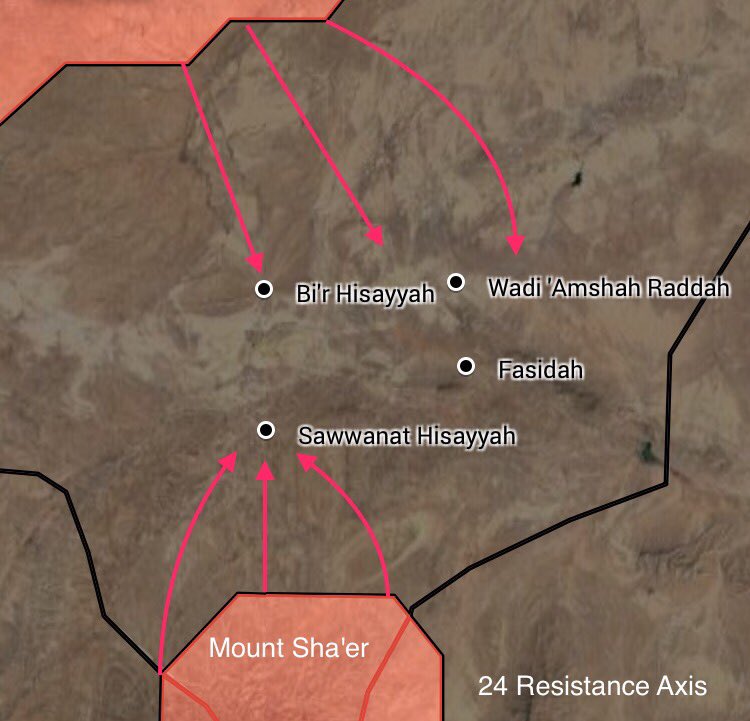
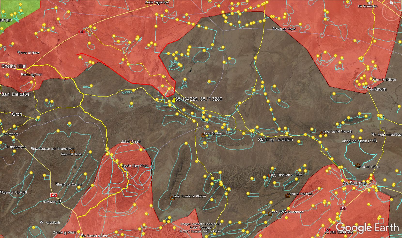
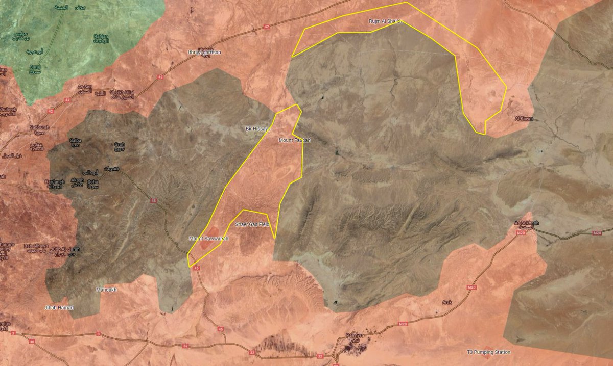
The operation around the Syria-Lebanon border advances with good success, the actual situation is in the following map:
Here are several parties involved. On the terrorist side, there is Daesh, and Al Qaida (Nusra, HTS or however named). The fighting goes agains Al Qaida. The area marked by a red line was the original situation before the offensive started. That means, the larger part of the Al Qaida controlled territory has already been taken. On the governments side, there is the Lebanese army, the Syrian army, and Hesbollah. Judging from this map, Hesbollah seems to do the main job, but this may be because the guy who paints the map supports Hesbollah.
Such a coordination of many forces from different parts of a border is very problematic, which was the main reason why these terrorist enclaves have survived up to now. One would hope that after finishing Al Qaida, they continue to fight also Daesh. But I doubt, all the reports are only about fighting Al Qaida. Probably there is some ceasefire with the Daesh part. We will see.
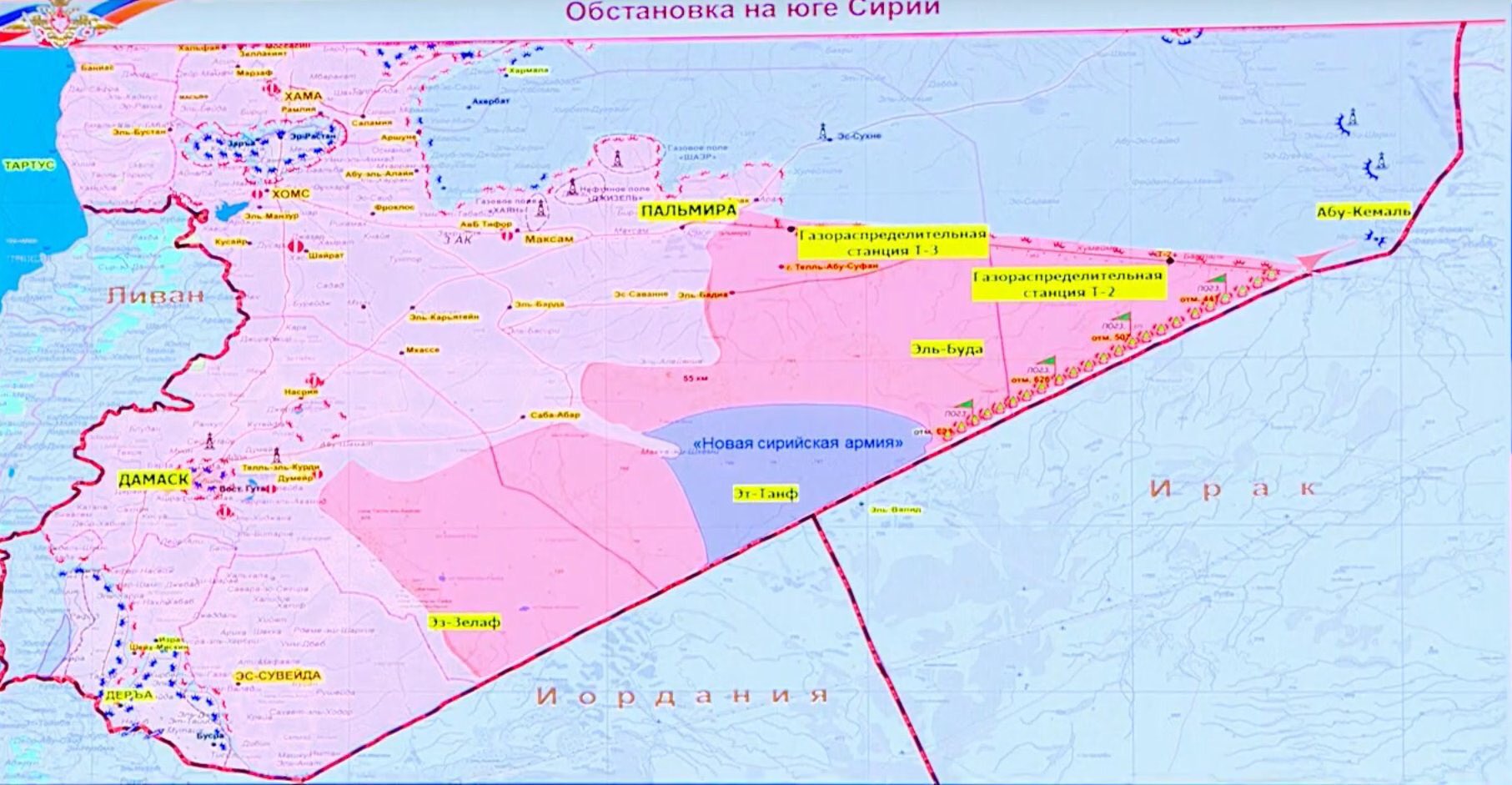
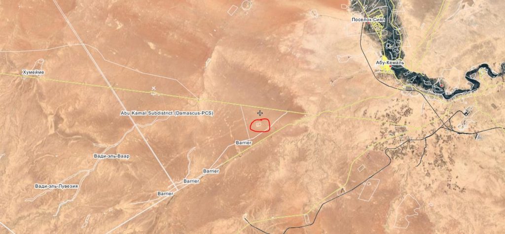
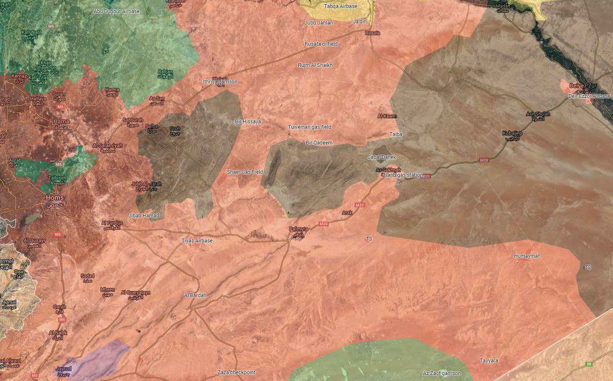
Another interesting map is a screenshot from the briefing from the Russian MD:
The news announced at this briefing was that the gas station T2 has been taken. The Syrian army is now around the meeting point of the Palmyra-T3-T2 road with the road along the Iraqi border. Some 27 km or so remaining to Abu Kemal, the Euphrat border crossing with Iraq.
The US army, together with a few local "FSA" guys, holds the Al Tanf border station and the 50 km around, I think this situation will be left so until Daesh is finished (which is more important), then we will see. Essentially they do nothing but to prevent the use of the best highway Damaskus - Bagdad, just to annoy the drivers who have to travel around. If the US drives away and stops to support those FSA guys, that's all, if taken alone they will simply run away.
The quality of the Russian MO briefing maps are a difficult issue. They usually differ from the maps which are, so to say, Twitter consent or so. The advantage is that the guys have the real information. The question is how much of the real information are they willing to share? My impression is that they are quite conservative in their maps.


